


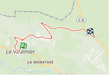

33 km | 54 km-effort


Tous les sentiers balisés d’Europe GUIDE+


Application GPS de randonnée GRATUITE
 SityTrail
IGN / Instituts géographiques
SityTrail World
Le monde est à vous
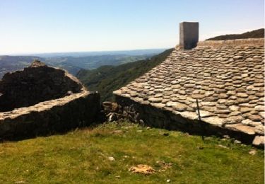
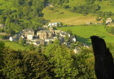
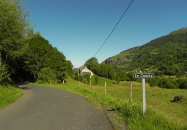
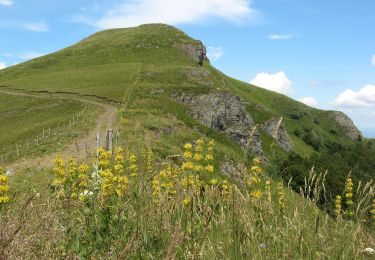
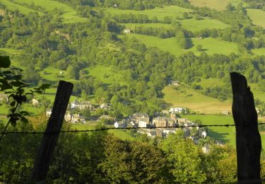
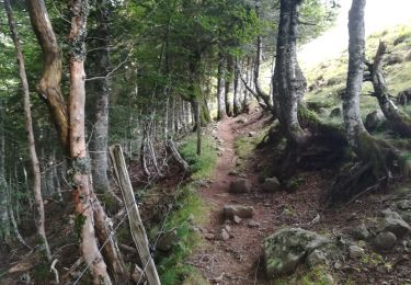
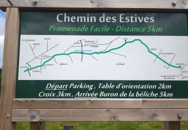
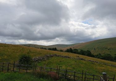
Randonnée A pied de 3,3 km à découvrir à Auvergne-Rhône-Alpes, Cantal, Le Vaulmier. Cette randonnée est proposée par SityTrail - itinéraires balisés pédestres.
Randonnée créée par Association Aspect.
Symbole: balisage Bleu
Autre activité
A pied
A pied
A pied
A pied
V.T.T.
Marche
Marche

A pied